 Day 2
Day 2
I used to always think the Sinai Peninsula was part of Saudi Arabia. Not sure why.
The Sinai Peninsula is part of Egypt. It is formed by the “fingers” of the Red Sea. Our trip took us across the Suez Canal and then down to an area most likely to contain Mt. Sinai – where Moses received the Ten Commandments from God! The basic idea was to follow the path that the Israelites most likely took during their exodus from Egypt.
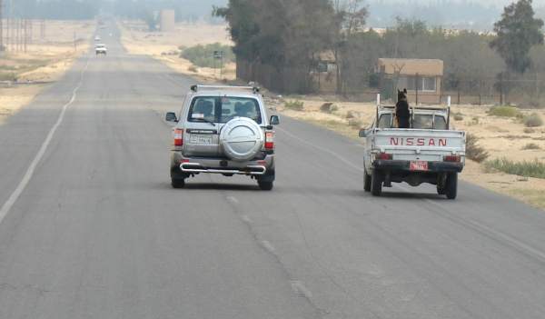 |
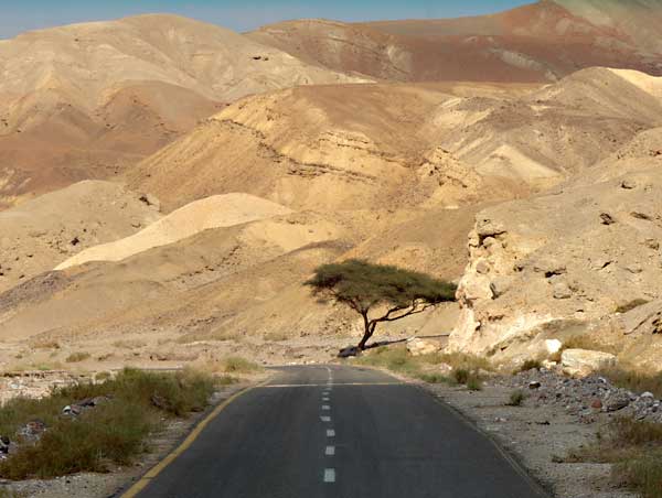
It was a fairly long drive.Rules for driving in Egypt are – not what we’d see here in the US.
The lines in the asphalt.. I guess they’re more what you’d call ‘guidelines’. (Note: To take this photo, I’m looking through the front windshield. In other words, our bus is in the left lane. And there’s no car on the right side of our bus. The SUV ahead of us isn’t passing the Nissan pickup truck. They’re just moving along at about the same speed) |
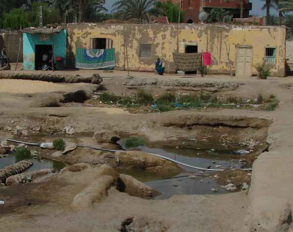 |
Along the way to Mt. Sinai, we stopped at a small impoverished village. The neat thing about this village is that it is quite likely the very place that the Israelites stopped and/or camped immediately after the Exodus. Succoth, to be exact. Exo 12:37 And the children of Israel journeyed from Rameses to Succoth, about six hundred thousand on foot that were men, beside children. (also Num 33:5)One of the interesting things to note about this place is the type of mud brick construction excavated here – done exactly the way that the book of Exodus says that the Israelites did it – and dating back to that period as well.
The excavation site filled up with water, trash and sewage. |
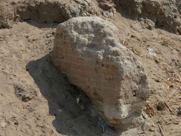 |
Mud bricks – without straw. |
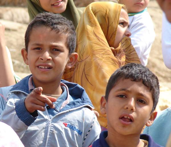 |
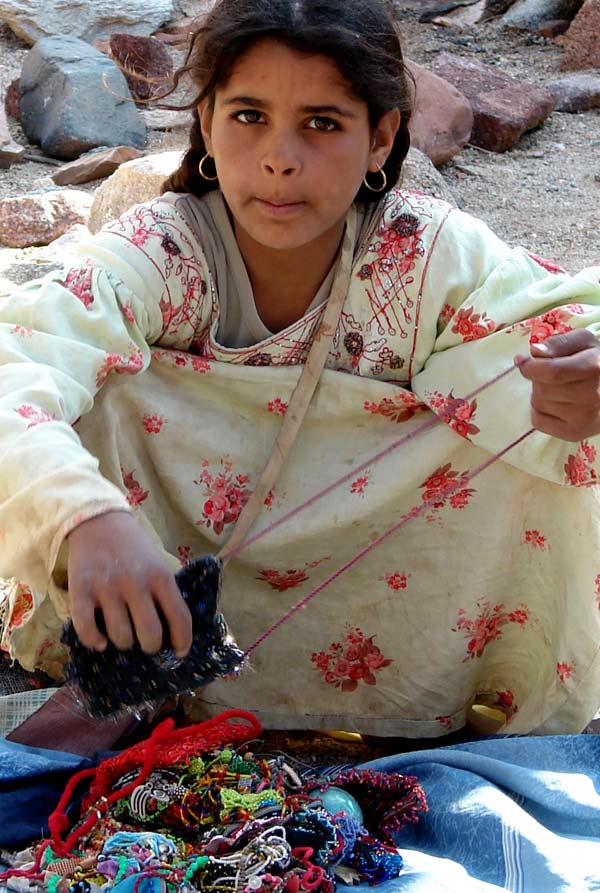
I’m betting the peasant kids that came out to see us wondered why we were so fascinated with their garbage dump. |
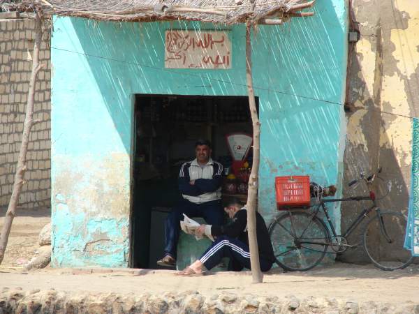 |
I’ve no idea what this guy was selling in his store. The place reeked to high heaven due to the stagnant water and open sewage. |
  |
The kids like candy.Just hope you don’t run out. |
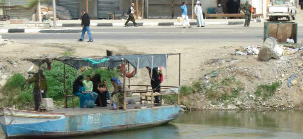 |
We continued on to the Suez Canal. Running parallel to our road was a small canal. Every mile or so, there’d be a ferry tied to a cable. People would hop on board and pull the ferry across. Lots of trash just sitting around. The river (a branch of the Nile) stunk. |
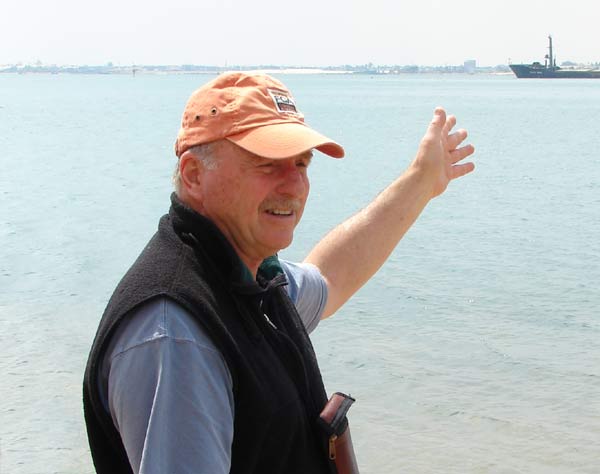 |
Right before we hit the Suez Canal and the Red Sea, we stopped at Lake Timsah. This is one of the possible sites where the Israelites crossed the red sea. If you go back 3,400 years (to 1440BC), the water level was much higher and the topography of the lake was significantly different.(For more on this, be sure to see the movie clip section) |
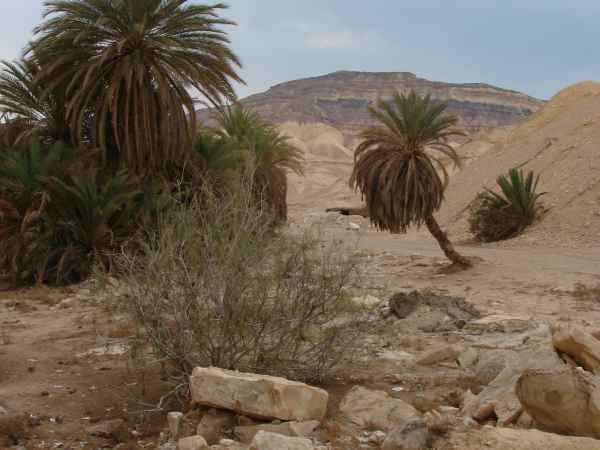 |
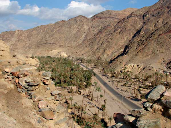
We crossed the Suez Canal and really hit desert! What a wasteland. Before too long, there was nothing but mountains all around us. The mountains were pretty dramatic, actually, shooting up out of the ground for several thousand feet.Numbers 33 talks about the Israelites stopping at an oasis with palm trees – Elim. And yes, it was just about the only oasis with palm trees around. |
 |
A more modern “oasis” – with a bathroom. Had to pay $1 for the “facilities” – and I use the word lightly. Didn’t help that they had running water. The place stunk to high heaven.These mountains are solid granite. Tough stuff. |
 |
I think I’ll make a movie logo. |
 |
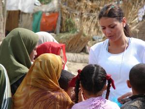
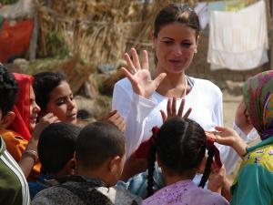
We came to a valley called Rephidim. This is the area where the Israelites fought the Amelikites, but Moses couldn’t hold up his arms, so Aaron and Hur held up his arms and they won the battle.Bedoin people live out in this part of the Sinai. They aren’t as nomadic as they used to be, especially since the Egyptian gov’t built schools for them. They live off the land (not much) and sell trinkets to whomever might happen to stop by (rarely). Our guide said that since the roads were built back in the ’50s, they’ve become more sociable and less hostile to outsiders.
I’m betting they don’t get tour buses out here much. The kids and younger men came out, but younger women didn’t come out. They stay indoors all day long. |
 |
The Valley of Rephidim.Exodus 17. |
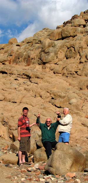 |
A re-enactment.JJ Routley Hayes Barclay Jack BarclayFrom here we went to Mt. Sinai. |